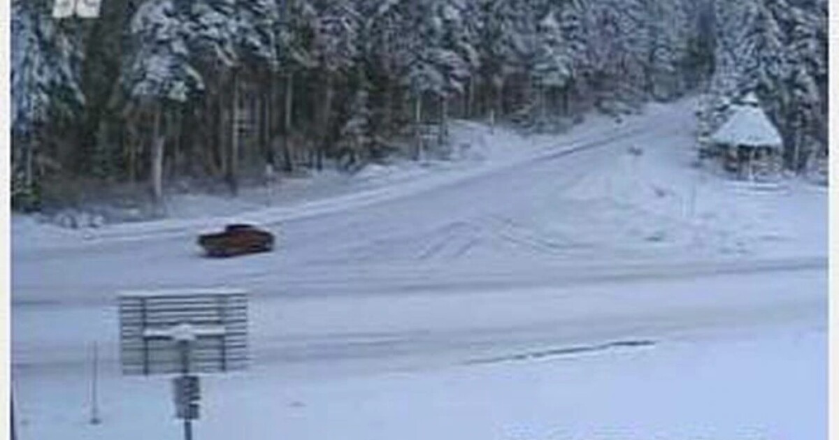
About 30,000 Oregonians from the Willamette Valley up to Portland lost power Saturday morning. Most outages had been addressed by Sunday morning, but cold and snow continued to affect much of the rest of Oregon.
The National Weather Service reported 2 to 6 inches of snow above 1,500 feet elevation along the northwestern and central coast ranges until 10 p.m. Sunday.
Even heavier snow hit the eastern slopes of the Cascades, with 12 to 24 inches forecasted above 4,000 feet elevation through Sunday afternoon, along with winds as high as 40 mph.
The Central Oregon Avalanche Center in Bend warned of a considerable avalanche risk west of Sisters. It advised travelers to be particularly careful on east-facing slopes above treelines.
Closer to Oregon’s northwestern and central coast, a sneaker wave warning remained in effect until Monday afternoon. Sneaker waves can suddenly sweep people and animals off rocks and beaches into the frigid water. Further south, a high surf advisory expected to last until late Monday afternoon. Large waves hit beaches along the southern Oregon coast in Coos, Curry and Douglas counties. High surf can cause beach erosion and damage infrastructure like sewage systems or roads.
Wet conditions contributed to a landslide that closed all lanes of U.S. Highway 101 north of Florence Saturday afternoon. It took state transportation officials several hours to clear about 40 yards of debris by that night. A landslide east of Eugene also closed all lanes of Highway 58 Saturday morning.
Big snow this weekend means ski and snowboard season is officially underway in Oregon: both Mount Hood Meadows and Timberline Ski area were set to open for the season Sunday morning.
The snow base at Timberline as of 10 a.m. Sunday was 39 inches, and Mount Hood Meadows reported a base of 36 inches.
The Oregon Department of Transportation wasn’t reporting any unexpected major mountain road closures as of late Sunday morning. As snow continued to accumulate over the weekend, the agency began to require vehicles to use traction tires or chains on some high elevation passes, including Santiam Pass, resulting in hazardous driving conditions.
With fewer people available to drive the state’s snowplows, as the East Oregonian reported, heavy snowfall could take longer to clear from major roadways than in the past.
Check Tripcheck.org for the latest traffic conditions on major roads and highways in the state.
Moving into the week, the Portland region can expect more rain and possibly some wet snow on Tuesday and Wednesday. The Weather Service forecasts snow between 600 to 1,200 feet elevation, but very little is expected to stick around, especially as the weather shifts to rain into next weekend.
Copyright 2021 Oregon Public Broadcasting. To see more, visit Oregon Public Broadcasting.
"heavy" - Google News
December 13, 2021 at 09:45PM
https://ift.tt/3dQkrvL
Oregon mountains seeing heavy snow; large waves hit the south coast - Jefferson Public Radio
"heavy" - Google News
https://ift.tt/35FbxvS
https://ift.tt/3c3RoCk
heavy
Bagikan Berita Ini


0 Response to "Oregon mountains seeing heavy snow; large waves hit the south coast - Jefferson Public Radio"
Post a Comment